

The Morelia aqueduct and Fuente de las Tarascas are historic landmarks on a city sightseeing route, with the fountain opposite Jardín Villalongín. The aqueduct’s long run of arches and the fountain’s bronze figures offer two distinct points of interest to include in a walk through this part of Morelia.
- Landmarks: Acueducto de Morelia and Fuente de las Tarascas
- Route-map stops: Jardín Villalongín, Calzada Fray Antonio de San Miguel and Santuario de Guadalupe are also on Route 5
- Fountain location: Opposite Jardín Villalongín
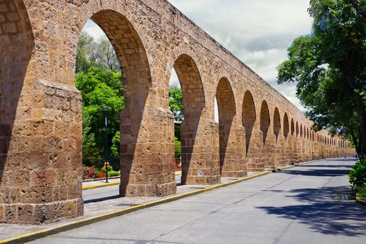
The Acueducto de Morelia
The Acueducto de Morelia is an 18th-century structure built to carry spring water toward the city centre. Its 253 Baroque-style arches make it a defining feature of the city’s historic landscape.
Construction began in 1785 by order of Bishop Fray Antonio de San Miguel and finished in 1789. Water came from a spring at Hacienda del Rincón, east of the city, and the aqueduct supplied 30 public fountains as well as some private household connections known as “mercedes domiciliarias.”
For a wider context on the city’s architecture and central sights, the guide to Morelia’s historic centre provides a complementary overview.
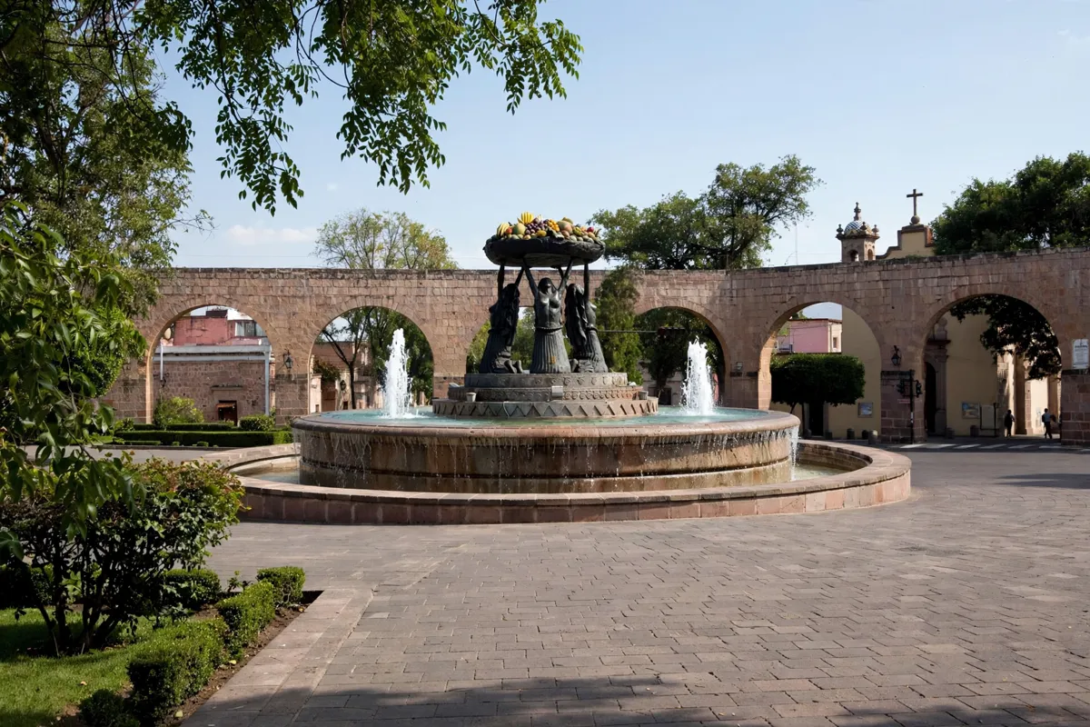
Fuente de Las Tarascas
Fuente de las Tarascas is a bronze fountain depicting three Indigenous women holding a fruit-filled peribana, a traditional wooden serving tray. The current sculpture was made in 1984 by José Luis Padilla Retana, replacing an earlier fountain of quarry stone and cement.
The Morelia tourism route map places the fountain opposite Jardín Villalongín. That pairing gives you a natural way to orient yourself before continuing along the route to other listed landmarks. The guide to getting around Morelia covers local transport options.
How do you walk between the landmarks?
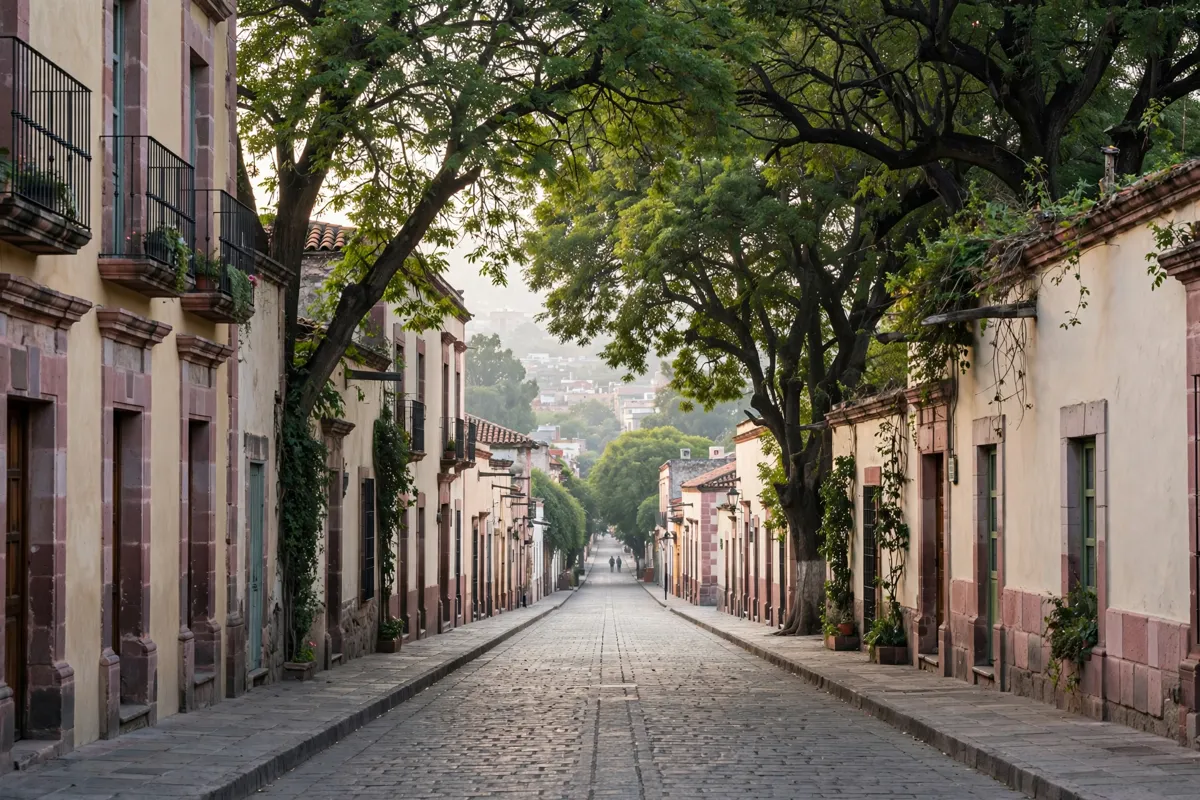
Morelia’s Route 5 map links the aqueduct and fountain with Jardín Villalongín, Calzada Fray Antonio de San Miguel and Santuario de Guadalupe. Use those stops to shape a walk through the area, rather than treating the fountain and aqueduct as isolated sights.
Calzada Fray Antonio de San Miguel was built in 1732, and houses dating from the 18th and 19th centuries line it. A one-day itinerary for Morelia can help place this route alongside other city stops.
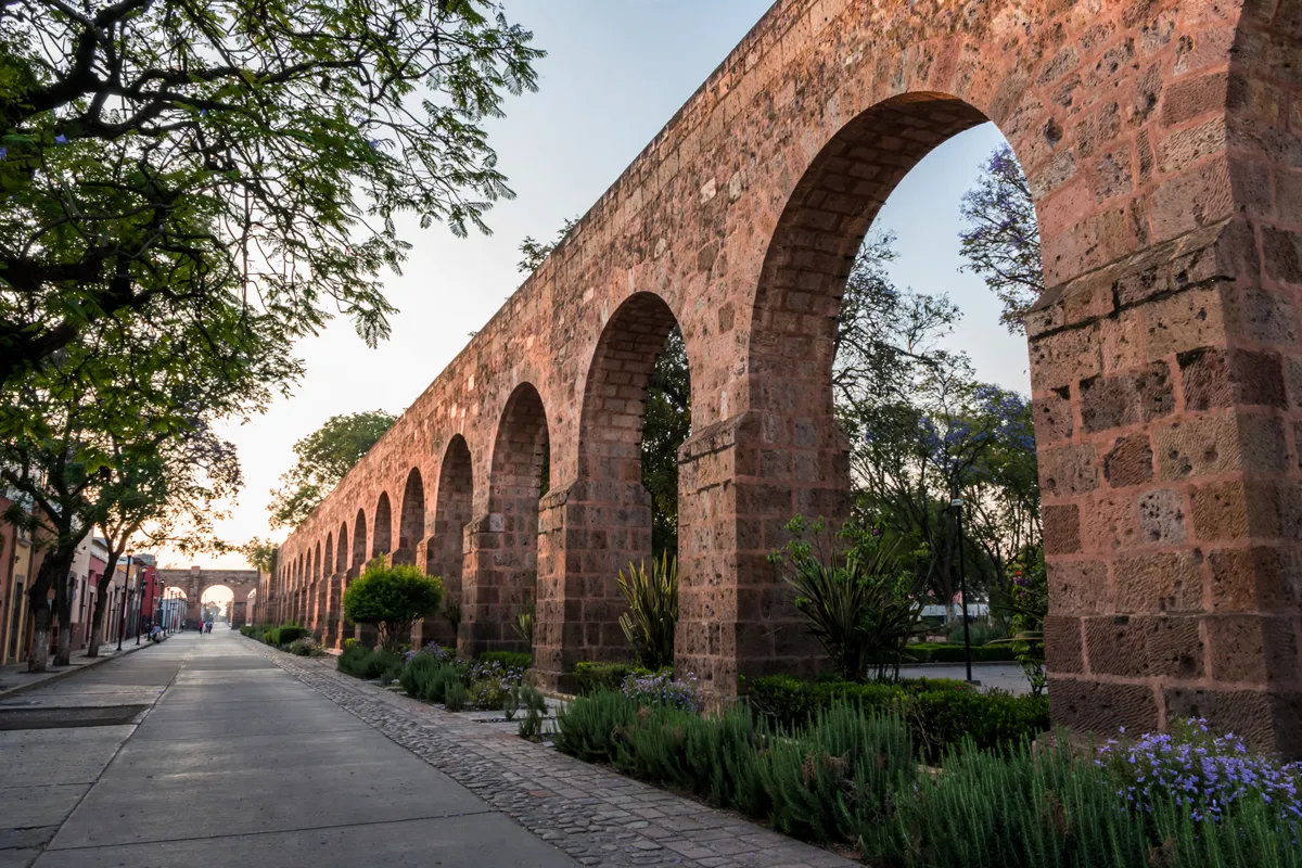
Access, safety and photo stops
The landmarks and surrounding public spaces are shown as stops on the city tourism route map. The route takes in the fountain, aqueduct and nearby sites in sequence.
For current visitor details, check the official site before you go. If you are planning to drive, confirm local conditions before setting out.
FAQs
What does Fuente de las Tarascas depict?
It depicts three Indigenous women holding a fruit-filled peribana, a traditional wooden serving tray.
When was the Morelia aqueduct built?
Construction began in 1785 and was completed in 1789.
What other places are on Morelia Route 5?
The route map also includes Jardín Villalongín, Calzada Fray Antonio de San Miguel and Santuario de Guadalupe.